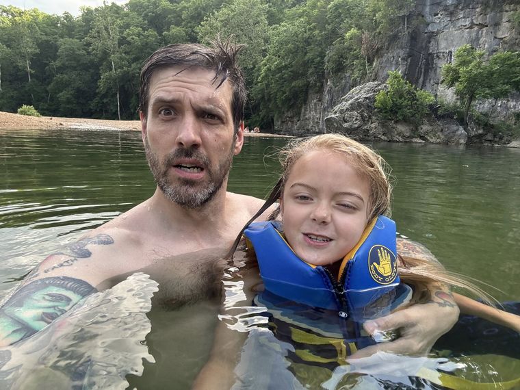
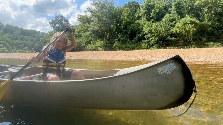
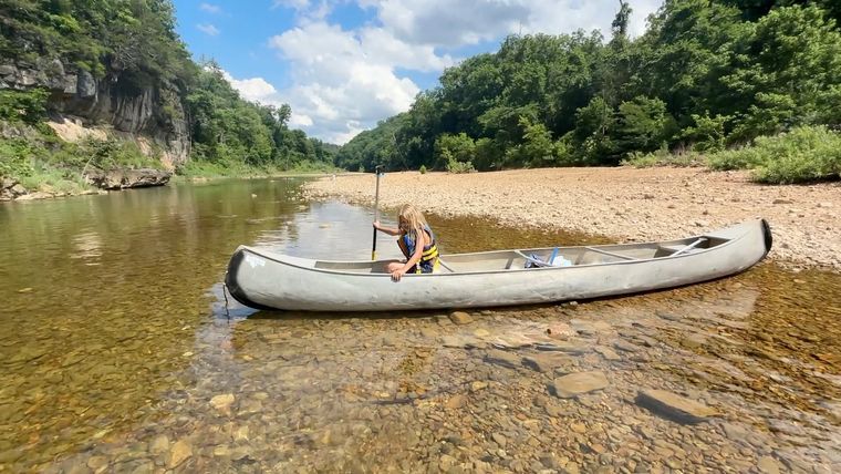
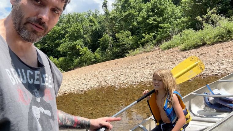
I have always been drawn to water. I can’t explain it any better than that. As a small boy I would rather be in the bathtub than anywhere else, and every new toy I got went into the tub with me, whether it was built for water or not.
When I was about four, my family lived for a while in a house beside a lake near St. Clair, Missouri. That lake scared me. The water just sat there, dark and still. My father told me never to hold it in my mouth or drink it, so in my head it was poison. My uncle, who was in middle school at the time and should not have been in charge of my movie choices, had shown me Friday the 13th. I was fairly sure a dead man in a hockey mask lived at the Bottom. The flat land along a river or creek, built of its deposits and open to its floods. In the 1920s the bottoms near Eminence averaged about a quarter of a mile wide (Chapter 2; Chapter 5). Glossary → of it. Nobody threw me off the end of a pier to teach me to swim. I didn’t learn there.
Not long after I started kindergarten, we moved to Mountain View. My mom and dad were from there, and so was everybody else in my family. I don’t know how a five-year-old knows a thing like that, but I knew it: we were going home, to where everyone was.
River Hill
In Mountain View, “going to the river” meant going to River Hill. To a little kid, the drive down Highway 17 toward the Jacks Fork felt like threading through cliffs. The road twisted and dropped. Right when it got its craziest you pulled off, and there was the bridge. We called it Steel Bridge.
That water was different from the lake. It was alive. It moved and talked and changed color over the rocks. It had deep spots you could swim in, and plenty of places where you could walk all the way across.
I don’t remember learning to swim. I just know that once we moved to Mountain View, at some point I could. Going to the river was so much a part of life that swimming came along with it, like learning to walk. I didn’t meet a grown person who couldn’t swim until I joined the Navy, and it honestly surprised me.
My favorite game was in the shallow Riffle. A fast, shallow, rocky stretch between pools. The riffles are the gardens of the riverbed: in July a square meter of riffle produced more than six times as much as a square meter of pool (Chapter 16). Glossary →, which we kids called “the rapids,” though they were only a few inches deep. I would climb up them as if the river were a cliff. The rocks set in the riverbed were my handholds. Every so often one would give, and I would “fall,” tumbling dramatically down a mountain face in six inches of water.
When I was small you could get down to the river on either side of Steel Bridge. Later the steep drive on the upstream side was closed. After that you parked by the restrooms and walked a little trail under the bridge to the upstream bank. The bridge itself was too high to jump from, because the water under it is shallow. Everybody knew that.
Blue Spring
As I got older, the river got bigger. Steel Bridge was where we went for a quick, unplanned swim. If we were going to stay a while, we went to Blue Spring.
Back then the Blue Spring campground was primitive, and as far as I knew it was free. You showed up and set up. The only rule I remember anybody enforcing was that you couldn’t hang a gas lantern from a tree. The officers came through, made you take it down, and left you alone.
Our family camp trips there were big: aunts, uncles, cousins, everybody. My grandpa couldn’t sleep lying down, so he slept sitting up in a lawn chair. In the morning he’d still be asleep, covered in dew. The raccoons ran the place. No matter how you packed your camp, they got into it. One night Grandpa left out a mixed box of donuts. The raccoons ate every chocolate one and every powdered-sugar one, right beside him while he slept. They did not care for the cinnamon ones. They registered their disapproval by smearing them all over the cars. As a kid you’d lie in your tent and try not to breathe while a raccoon used it as a trampoline to reach the trash can.
The swimming Hole. Any pool deep enough to swim or fish in, named or not, the basic unit of the river in local speech; also “hole of water” (Chapter 18). Glossary → at Blue Spring was the biggest thing in my world. Between the Gravel bar. A bank of chert gravel and sand, usually on the inside of a bend, bare at low water (Chapter 15; Chapter 18). Glossary → and the big rock on the far side the water was over your head, and you had to swim across. Then you had to climb the back of the rock, wet and slick, usually by a rope somebody had left hanging there. Then you had to find the one spot where you could jump without hitting anything underneath. Conquering that rock was a rite of passage. Years later I married my wife on that shore, facing that rock.
Low Water
The Y Highway access, which everybody called Low Water, was where you went if you didn’t want to see a tourist. By the 1990s more and more people were coming to float the Jacks Fork, but Low Water stayed ours. The road out there is narrow and winding with no center line, and in summer the trees close over it like they’re trying to take it back.
Low Water. The local name for the Highway Y bridge over the South Prong, the access beside it and the county’s low-water crossing where the prongs meet, and so for the head of the river (Chapter 8; Chapter 18). Glossary → has two crossings. There’s the Y Highway bridge itself. Then there’s a gravel road that turns off right before it and leads to a little concrete crossing laid over big culvert pipes. The concrete one became my favorite place in the world, because it was low enough for a kid to jump off.
One hot day my parents took us out there on the spur of the moment. My uncle was already on the Y Highway bridge with a bunch of his teenage friends, and they were working up the nerve to jump. Nobody had done it yet. A couple of them climbed over the rail, looked down, and climbed back. I was watching to see which big kid would go first.
Out of nowhere my dad walked up behind them and did a gainer, a backflip, off the bridge. No hesitation, no checking the landing. He came up talking trash at the teenagers. By the time he swam back to us he was asking whether we wanted to go to McDonald’s. We were thrilled. We’d been at the river about five minutes.
The minute we got to the car, he started groaning. He had hurt himself badly showing off for his little brother, and we had to take him straight home to lie down.
How we floated
Floating was a two-car operation. You left one vehicle at the Put-in, take-out. The places where a float begins and ends (Chapter 20). Glossary →, drove the canoe car to the Put-in, take-out. The places where a float begins and ends (Chapter 20). Glossary →, and went back for it at the end of the day.
If you wanted a full day, you put in at Low Water and took out at Steel Bridge, or you put in at Steel Bridge and took out at Alley Spring. If you wanted a whole weekend, you put in at Low Water, camped at Blue Spring and floated on to Alley. By the time I was a teenager, parents were perfectly comfortable dropping you at Low Water and coming back to Steel Bridge five or six hours later.
Alley Spring was where the elementary school took us on a field trip almost every year, to see the spring and the mill and the cave. It was also where the river ended. Below Alley was the tourist river. I never floated past Alley Spring until I came back as a grown man.
Around fifth Grade. The slope at which a river carries its load without cutting down or building up (Chapter 2). Glossary → I went on my dad’s company Float trip. A trip down the river by boat, from a few hours to several days, with a way back arranged at the end (Chapter 20). Glossary →, a dozen or so families, from Steel Bridge toward Alley. The boss’s son and I shared a canoe. We appointed ourselves scouts. We’d race ahead, explore, then paddle back upstream to report to the main party.
We came around a fast bend where a tree had fallen across the current. To this day that is my favorite thing on a river, a quick turn with a tree in it, and we took it the way we took everything: head-on. When it was over, our canoe was wedged up in the Branch. A small creek. The sense is American, on record from 1674 (Chapter 18). Glossary →, completely out of the water, and both of us were pinned in it with our arms and paddles locked against us by the limbs. We couldn’t move an inch. A man camped on that bank waded out and pulled us loose. Our families didn’t come around the bend for another half hour.
It was dangerous, and we didn’t have the sense to know it. I have thought about that tree more as a grown-up than I ever did as a kid.
Coming back
I graduated in 2004, joined the Navy and lived on the East Coast. I didn’t come back to the river for almost twenty years.
On the Fourth of July, 2022, I floated from Alley to Eminence on a rented raft, like a tourist, and stayed in a camper at Eminence. That stretch was new to me, and I felt like I had graduated to the tourist part of the river. I jumped off the Eminence bridge, which I should not have done. Climbing up was harder than I remembered, and when I came up from the jump I had to invent an excuse to get out of the water. I knew exactly how my dad had felt that day at Low Water.
I hadn’t been home in years. All day long people from Mountain View, Summersville and Eminence recognized me on the water anyway.
Around the same time, I was driving south on 17 from Summersville when my phone’s map told me to turn right just before Steel Bridge. The gravel got narrower. Then I was going through somebody’s front yard while they stared at me. Then the weeds down the middle of the track were four or five feet tall. Then I came out on the riverbank. The water in front of me was six or seven feet deep, and the map said to cross it.
There was no turning around. I had to back nearly a mile up that track, back through that man’s yard, with no signal. I knew that if I’d been on the water instead of in a car, the river would have carried me straight to the bridge. I had become the tourist.
On the Fourth of July, 2025, I took the woman who is now my wife to Blue Spring. When I walked down to the water, I thought I was in the wrong place.
The swimming hole I remembered, the one you had to swim across, was gone. The channel had narrowed so much that you could step in and touch the big rock without swimming at all. It was ten or fifteen feet away. The same thing had happened at Steel Bridge, which is a fraction of what it was.
That’s when I learned about the floods that had come through while I was gone, and how much they had changed the part of the river I knew best.
Why this book
This book started with one question: what happened to my swimming holes? That question opened onto all the others.
The upper Jacks Fork is one of the most underdocumented places I know. A lot of what I grew up knowing to be true has never been written down anywhere. What do people call Steel Bridge? Where is Low Water? Which way do you turn for Blue Spring? Where is the hole everybody’s grandpa fished?
People from Mountain View know that “Steel Bridge” means Highway 17. People from Eminence probably say “17.” Only tourists say Buck Hollow, but that’s what’s on the sign. I wanted to find out what everyone else calls things, and why.
So this is three things. It’s an attempt to remember the river I grew up on. It’s an attempt to explain, as honestly as the evidence allows, what happened to it. And it’s a look at whether anything can keep it from getting worse.
It also tries to tell the whole story of the Jacks Fork, from rocks older than the dinosaurs to last summer’s float, and to name every bend, hollow, spring and hole I could find.
If you know a name I missed, I want to hear it.