Wolf Creek
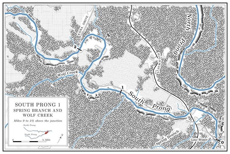
Creek · right bank · South Prong mile 1.4 · Plates A1, A15
Wolf Creek is the Prong. A branch or arm of a creek, set down in 1860 as Southern usage. The North and South Prongs join to form the Jacks Fork (Chapter 18). Glossary →’s last named tributary. It rises in the northeastern part of Hutton Valley TownshipPottenger 1945, Howell file p. 116. in Howell County, runs about five miles northeast and drains nearly seven square milesJacks Fork Creek Network 2026., entering about a mile above the Highway Y bridge. It may stop flowingMDC 2001, PDF 91 (class C, 5.2 miles). in dry weather. Its name and the wolf hunting of the 1930sPottenger 1945, Howell file p. 116 (“wolf hunting in the vicinity is good sport”); see Chapter 18. are in Chapter 18.