Jason Russell
About the Photographer
Jason Russell grew up in Mountain View, Missouri, and has lived there all his life. The upper Jacks Fork runs about five minutes north of town, close enough that the river has been his back yard, his weekend getaway and his lifelong subject. Most of the original photographs on these pages are his.
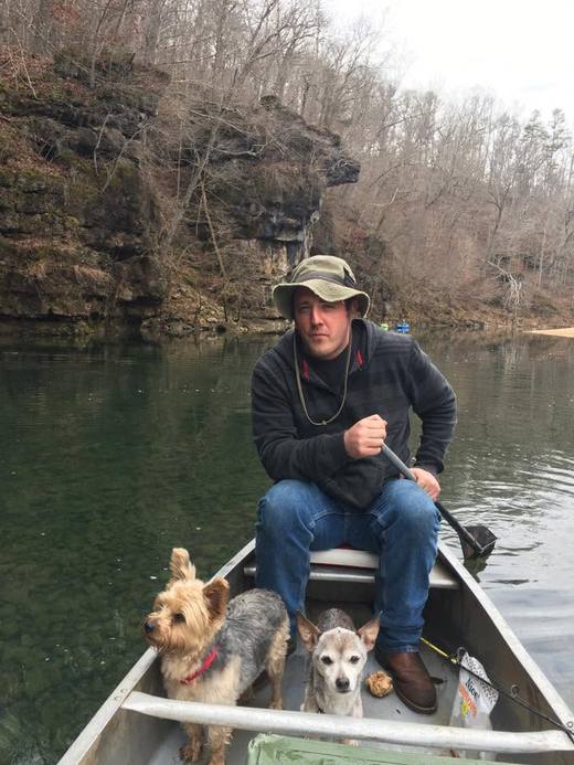
He is self-taught. Photography began as something he shared with Melody Russell, his wife and his partner behind the camera. The two have been together, on and off, since they were twelve and thirteen, and they married in 2006. When Melody took photography courses in Warrensburg in 2003, she brought home what she learned, and soon afterward the couple bought their first digital camera, a Canon Digital Rebel. They shot their first wedding as a favor for friends and built up their equipment one paying job at a time. Over the years that work has taken in weddings, newborns, family portraits, bands in small-town clubs and house shows, and studio sessions with models from across southern Missouri. One of his earliest landscapes, a 2005 sunset over the dirt road outside Mountain View, aired on a local television station’s weather report.
The river has been the constant. He has floated and photographed the Jacks Fork from the prongs to Two Rivers, and he knows the upper river best: solo kayak runs between Highway Y and Highway 17 in the few weeks a year when that stretch will float; Chimney Rock and the bluffs below the Low Water access; and the long summer floats from Blue Spring or Bachers down to Rymers that his family has made more times than anyone has counted. He has photographed Chalk Bluff from a moving kayak, waited out the clouds for long exposures at Pebble Dam on the North Prong, and gone looking for icicles at Bear Cave in January. After the flood of spring 2017 sent more than twenty feet of water down the valley, he floated from Buck Hollow to Ebb and Flow and recorded what it left behind: landslides, a widened channel, trees laid sideways, a picnic table smashed against a trunk, and the giant sycamore at the foot of Jam Up Cave, still standing.
His favorite water lies above Alley Spring. Most visitors know the Jacks Fork around Eminence; to his eye, the upper reaches are the most beautiful miles on the river. He calls a float trip “river therapy,” and his photographs carry the patience of someone who has spent long, unhurried hours on the water. He keeps retouching to a minimum, so the river in these pictures looks the way it looked that day.
The family’s ties to the valley run back for generations. By family tradition, Melody’s great-great-great-grandfather owned the land at Alley Spring before the present mill was built, and her people built Klepzig Mill on Rocky Creek.
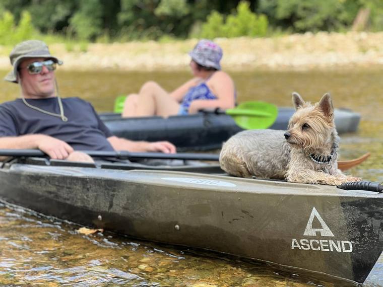
On most floats since 2017, a small Yorkshire terrier named Bastian has ridden the bow of Jason’s kayak, watching the water ahead. He turns up in more than a few of these photographs, usually on lookout.
Jason Russell says he will probably never consider himself a professional, because there is always something more to learn about photography. The Jacks Fork has been his classroom all his life.